AB_Summit
Member
Hi everyone,
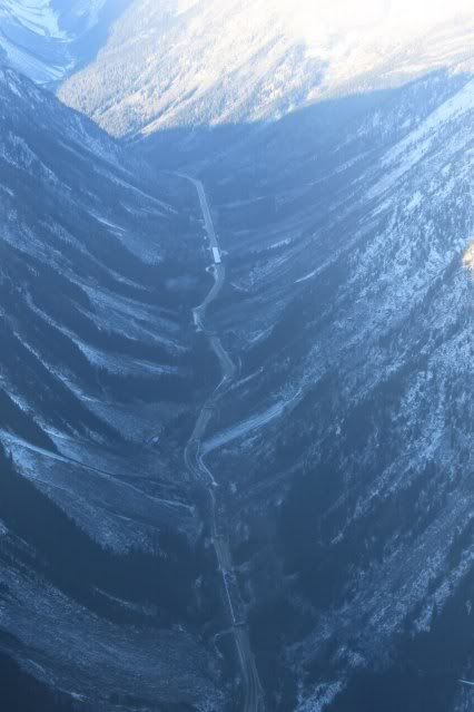
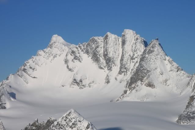
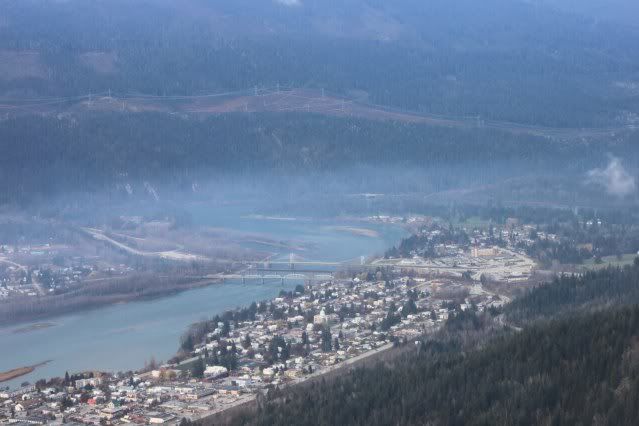
Just wanted to post some pictures from a trip my buddy Kent and I took on a trip to Revelstoke on Wednesday Nov.10. Kent was the photographer, so he gets the credit for the pictures. He took a lot of great shots so I had a hard time deciding which ones to post.
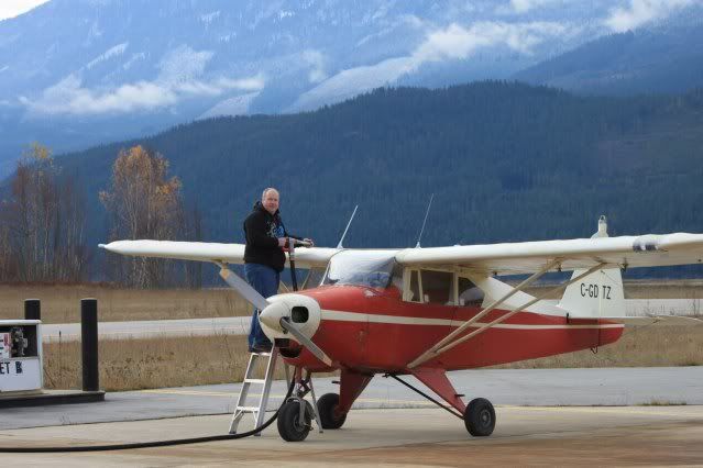
I got my pilot's license this spring, and bought an old Piper airplane, so I thought I would put them to good use and go look for rideable snow.
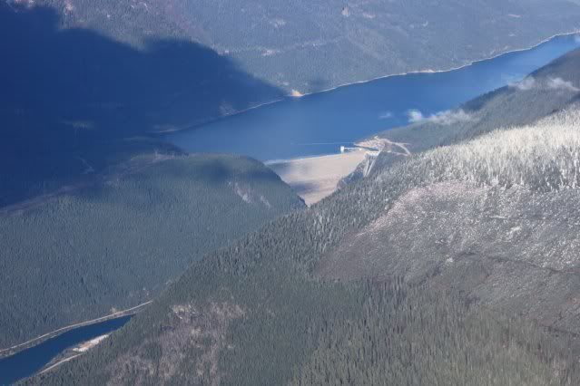
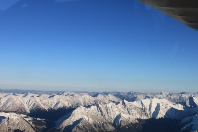
We took of from Red Deer and flew west, following the Clearwater river into the mountains.
Here's a shot of us following the Clearwater valley.
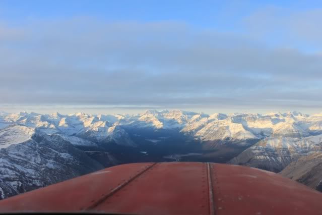
And another shot, somewhere along the Clearwater, probably somewhere in Banff National Park. Some of the bluest skies I've seen.
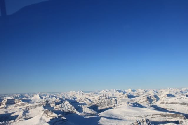
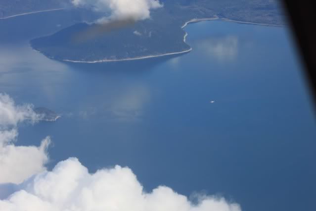
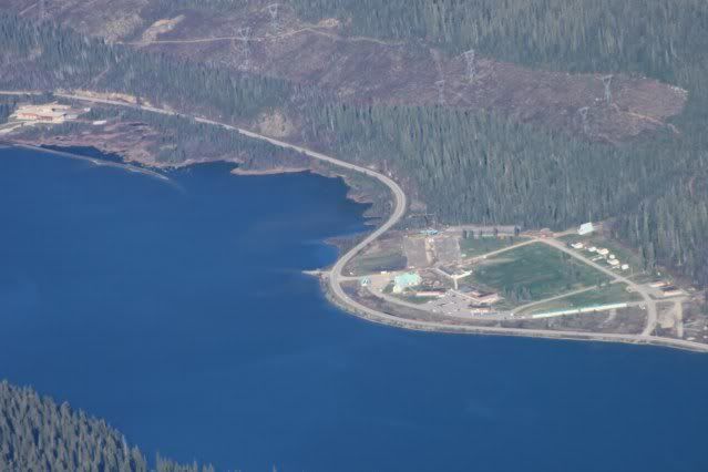
We flew over the pass at the headwaters of the Clearwater, and came out at Highway 93, just south of Bow Lake. Here's a shot of where we came out at Highway 93, you can see Bow Lake in the middle of the picture.
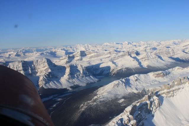
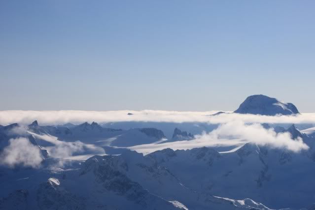
We flew over Bow Lake and up to the Wapta Icefield and the AB/BC border.
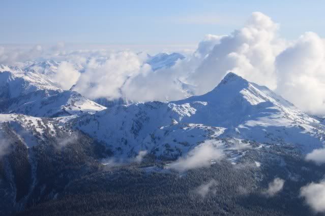
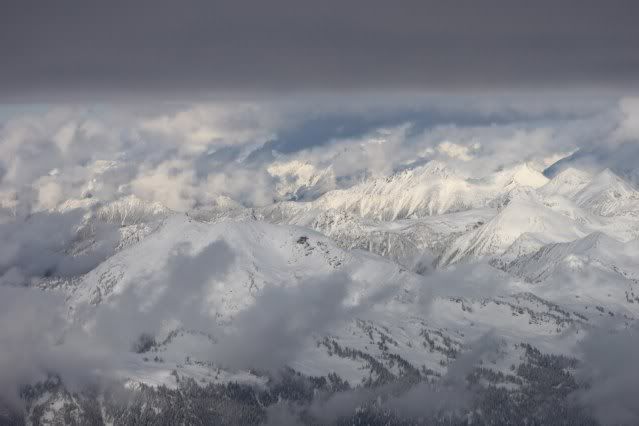
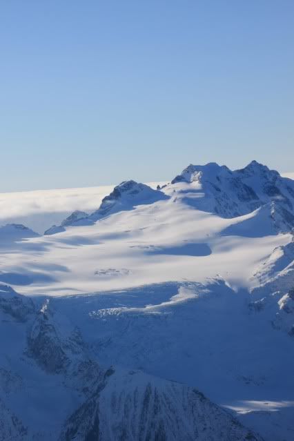
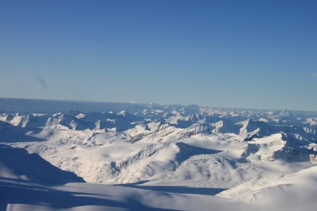
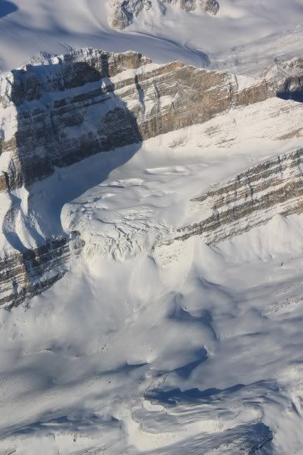
Here's a couple of shots of the Wapta Icefield.
And a shot from over the Wapta Icefield looking back at Bow Lake.
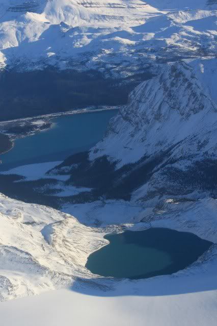
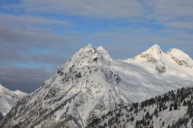
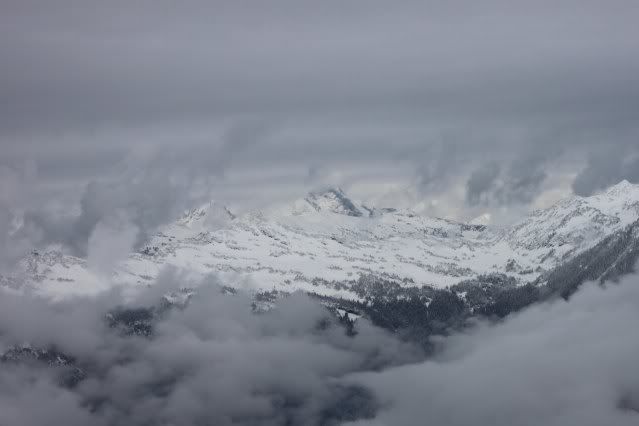
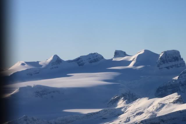
Another couple of glaciers in the area.
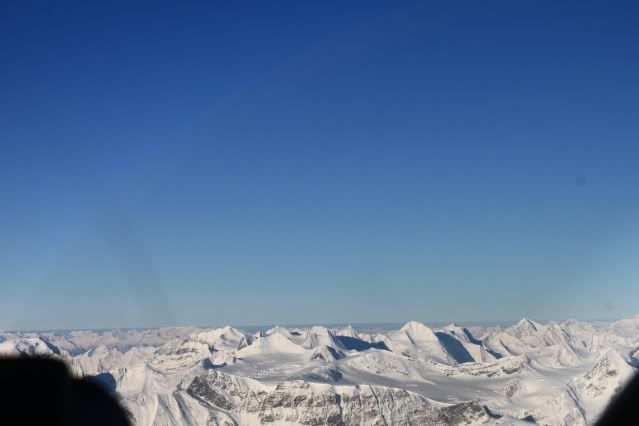
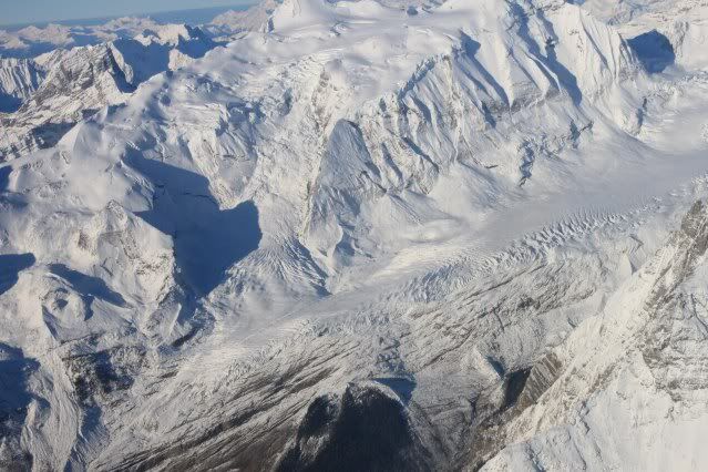
From the Wapta Icefield, we flew across the border and down into the Blaeberry River valley. We followed the Blaeberry valley to the Trans-Canada highway west of Golden, BC, and flew across the highway up the valley into the Gorman Lake snowmobiling area. Here's a couple of pictures of Gorman Lake.
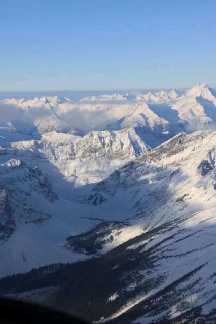
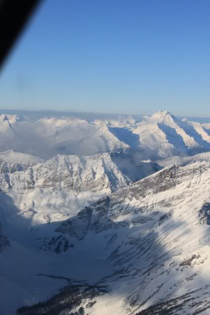
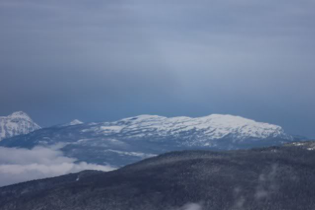
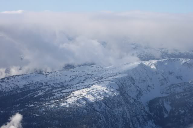
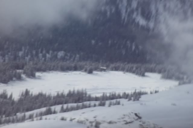
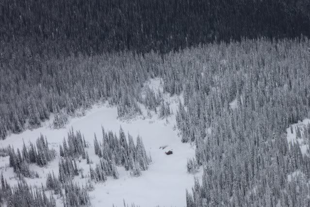
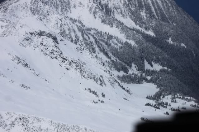
From Gorman we followed the ridge west to the Quartz Creek snowmobiling area. It was the only place we saw sled tracks on our whole trip. Here are a couple shots of Quartz.
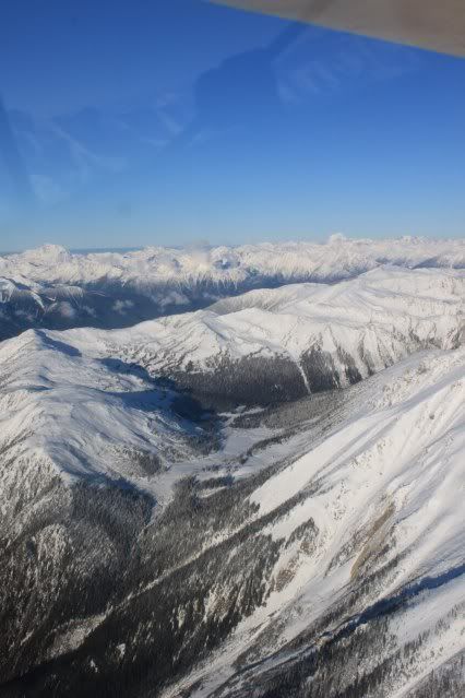
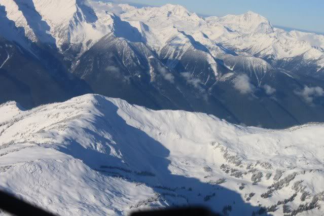
I guess I'm limited to 12 pics per post, so I'll make another couple of posts to finish up the story.
Just wanted to post some pictures from a trip my buddy Kent and I took on a trip to Revelstoke on Wednesday Nov.10. Kent was the photographer, so he gets the credit for the pictures. He took a lot of great shots so I had a hard time deciding which ones to post.
I got my pilot's license this spring, and bought an old Piper airplane, so I thought I would put them to good use and go look for rideable snow.
We took of from Red Deer and flew west, following the Clearwater river into the mountains.
Here's a shot of us following the Clearwater valley.

And another shot, somewhere along the Clearwater, probably somewhere in Banff National Park. Some of the bluest skies I've seen.

We flew over the pass at the headwaters of the Clearwater, and came out at Highway 93, just south of Bow Lake. Here's a shot of where we came out at Highway 93, you can see Bow Lake in the middle of the picture.

We flew over Bow Lake and up to the Wapta Icefield and the AB/BC border.
Here's a couple of shots of the Wapta Icefield.


And a shot from over the Wapta Icefield looking back at Bow Lake.

Another couple of glaciers in the area.


From the Wapta Icefield, we flew across the border and down into the Blaeberry River valley. We followed the Blaeberry valley to the Trans-Canada highway west of Golden, BC, and flew across the highway up the valley into the Gorman Lake snowmobiling area. Here's a couple of pictures of Gorman Lake.


From Gorman we followed the ridge west to the Quartz Creek snowmobiling area. It was the only place we saw sled tracks on our whole trip. Here are a couple shots of Quartz.


I guess I'm limited to 12 pics per post, so I'll make another couple of posts to finish up the story.


