Boulder cabin / turbo hill GPS cord.

Dobir

Active VIP Member
Joined
Nov 7, 2006
Messages
747
Reaction score
41
Location
Fort Macleod
go back to your main page..look under riding areas...go to BC..then Revy...every coordinate is there..

Left hand side of your main S and M page
 

mountainbigbull

Active VIP Member
Joined
Nov 25, 2006
Messages
335
Reaction score
135
Location
Cochrane Alberta
Cabin: N51.00993 W118.32410
Bottom of turbo: N50.99767 W118.45200
Turbo Summit: N50.99121 W118.45322

Not sure what format those coordinates on the boulder map those are in; they are a little confusing. The above coordinates are off my GPS.:)
 

Powder Puff

Active VIP Member
Joined
Jan 4, 2007
Messages
2,277
Reaction score
3,207
Location
Revy
Website
www.sledrevelstoke.com
They are bass ackwards. Proper format will be printed on our new map.
You read your newsletter yet? See that the lake in the 2nd bowl is open again at Caribou Basin. You have your GPS waypoints from that trip and experience?
Hey were we same place, same time taking pics.?
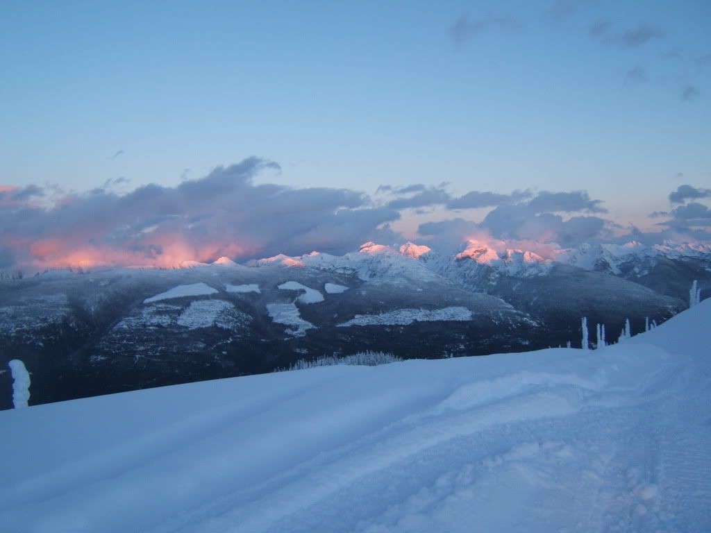
avycoursemods078.jpg
 

Work2Ride

Active VIP Member
Joined
Nov 12, 2008
Messages
1,899
Reaction score
119
Location
Grande Prairie, AB, CDN
What is a good brand/type of gps to use for all season riding(quads/Snowmobiles).

Im currently looking into one as I want to explore new areas without getting lost.

Ideal GPS:
-Make Checkpoints as I ride, and can save them for future rides.
-Checkpoint the Truck, or Cabin.
 

mountainbigbull

Active VIP Member
Joined
Nov 25, 2006
Messages
335
Reaction score
135
Location
Cochrane Alberta
They are bass ackwards. Proper format will be printed on our new map.
You read your newsletter yet? See that the lake in the 2nd bowl is open again at Caribou Basin. You have your GPS waypoints from that trip and experience?
Hey were we same place, same time taking pics.?
avycoursemods078.jpg

Yes I have the tracks and waypoints from that day;) Sent a PM..
 

mountainbigbull

Active VIP Member
Joined
Nov 25, 2006
Messages
335
Reaction score
135
Location
Cochrane Alberta
What is a good brand/type of gps to use for all season riding(quads/Snowmobiles).

Im currently looking into one as I want to explore new areas without getting lost.

Ideal GPS:
-Make Checkpoints as I ride, and can save them for future rides.
-Checkpoint the Truck, or Cabin.

I have the Garmin 60Cx good unit and now they have come down in price, I know there is some newer ones that have come out but I can recommend the 60Cx as a good solid unit and will easily do what you want it to and more.
 

dooski

Active member
Joined
Jan 1, 2008
Messages
142
Reaction score
9
Location
alberta
What is a good brand/type of gps to use for all season riding(quads/Snowmobiles).

Im currently looking into one as I want to explore new areas without getting lost.

Ideal GPS:
-Make Checkpoints as I ride, and can save them for future rides.
-Checkpoint the Truck, or Cabin.

Get the rhino 530hcx it has a gmrs radio built in. It comes in handy and the battery lasts for quite awhile.
 

RMKEITH

Member
Joined
Nov 7, 2006
Messages
17
Reaction score
0
Location
Red Deer
Could I get you to Pm me the file please skibeadoo. I would sure appreciate it.
Thanks
 

Captain-sno

Active member
Joined
Nov 1, 2007
Messages
68
Reaction score
0
Location
Calgary
Cabin: N51.00993 W118.32410
Bottom of turbo: N50.99767 W118.45200
Turbo Summit: N50.99121 W118.45322

Not sure what format those coordinates on the boulder map those are in; they are a little confusing. The above coordinates are off my GPS.:)

They can get confusing for sure. There are 3 formats that people use.
You can do degrees, minutes, and seconds (minute and second numbers do not go over 60....same as a clock) or degrees and decimal degrees as you have above, or degrees, minutes and decimal minutes.

An example of the turbo summit would be: N 50 59' 28" (degrees, minutes, seconds)
N 50 59.4726' (degrees, minutes decimal minutes)
N 50.99121 (degrees, decimal degrees) as you have above

All of these are the same but in the three different formats, I think all gps's these days can switch to any format. If you like using one method and the ones you want to enter are in another, you can convert, or if you don't like math....just change to that format to enter them and back to your favorite way once your done and the gps will do the math for you.

Mountainbigbull, I know you probably know this as it seems you know GPS well, but I thought others may be a little confused....I know I had a riding partner that could not figure out how to enter the old numbers. (I used to fly for a living, so having acurate numbers was quite important and it helps for search and rescue or if you need a helicopter, to give them the right format your using)

The old boulder map is written like its the first method, but the numbers exceed 60 so I assumed it was to be degrees, minutes and decimal minutes. The distance will not be out to far even with the error (minutes/seconds vs minutes /decimal minutes) There can be a fairly large error however in degrees with decimal degrees vs degrees and minutes , as 59 minutes is the same as .98 degrees and if the number is below 60 the error can go unnoticed.....search and rescue is in a different place (in the mountains, hills, trees....possibly bad visibility). See example above of Turbo summit 50.99 vs 50 59' if the pilot or search and rescue thought 50 59' was 50.59 they would be aprox 23.6 nautical miles away. The 99 gives it away but .49 or 49' is not so easy to notice the error.(20 miles apart)........LOL...hope my explanation is not confusing.

But i'm glad Powder Puff mentioned they will be corrected on the new map.:)

Oh Yes, and thanks for the numbers.....I will replace the ones I entered from the old map with yours!
 

mountainbigbull

Active VIP Member
Joined
Nov 25, 2006
Messages
335
Reaction score
135
Location
Cochrane Alberta
Thanks for info. So just to be completely clear the format I'm using is the excepted format for giving to a helicopter for a location?

I just started to use that one because it seems to be more common (google earth uses that one) and like you say less chance of error.
 

Captain-sno

Active member
Joined
Nov 1, 2007
Messages
68
Reaction score
0
Location
Calgary
If you ever need to....I hope not....just be very clear with the person taking the numbers, your using degrees and decimal degrees....so you would read it as (example) fifty decimal nine nine one two one degrees north, they will understand. (as pilots we would actually not say 50 but five zero decimal niner niner one two one degrees north)

The old way was always degrees minutes and seconds, but this was really before gps and for locating on a map (at least aviation maps) Topo maps may use "UTM" I would have to look....I can't remember.....they may use both.

The way your using is really the easiest and in my opinion best way as there is little confussion....we're talking degrees only....or degrees and parts of degrees....LOL:)
 
Top Bottom