RXN
Active VIP Member
Here are a few photo's from our trip down to Ainsworth BC.
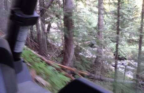
We found the trails narrow.
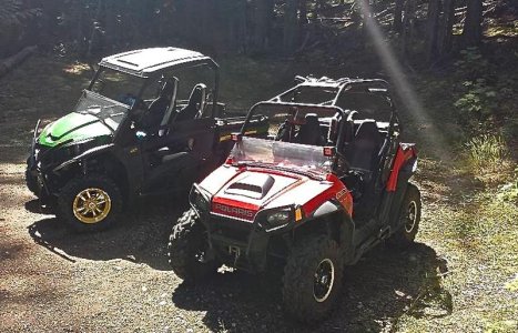
The 1st pic = My RSX850i next to Dad's 800 RZR at the Ainsworth Cemetery
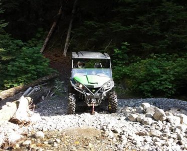
The 2nd pic = About to cross Cedar Creek
The 3rd pic = gives an idea how narrow the trails are. she's a bit of drop at the edge
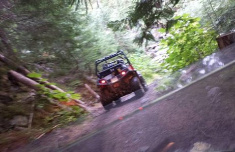
The 4th pic = following Mom and Dad
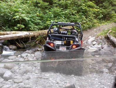
The 5th pic = Mom and Dad crossing Cedar Creek
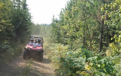
The 6th pic = Mom and Dad behind us, on the way to Cody Caves Road
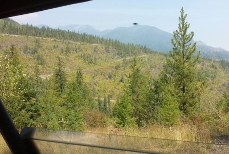
The 7th pic = Cheryl was taking pictures of the mountains, when we looked at them after noticed this one had a UFO in it . she managed to take the picture just as a bug flew infant of the camera.
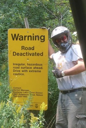
The 8th pic = The warning sign.
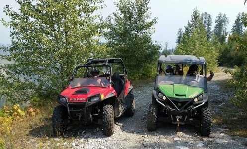
the 9th pic = Mom in the RZR, Cheryl, our dog Thai and Myself in the Gator.
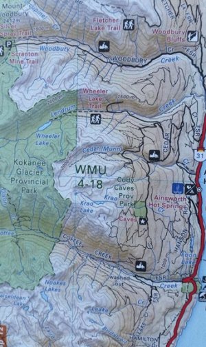
the 10th pic = is the map we were going by. We were on our way to Wheeler lake. Wheeler is in a provincial park, so we wouldn't be able to quad into it. where the trail ends for the quads is about 2 - 3 kms from the lake, it becomes a small hiking trail at this point. When we left my parents place the elevation was 1770ft, at the turn around point it was 5200ft.
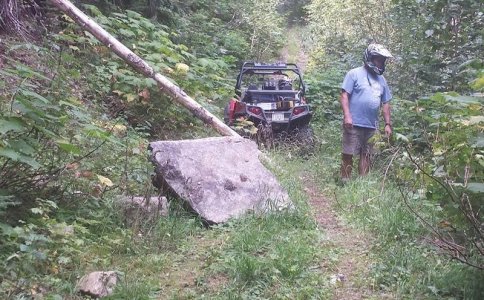
The 11th pic = A large rock had fallen and blocked part of the trail. Dads RZR is 52" wide (outside tire edge to outside tire edge) he fit through but found it tight. My gator is 56.5" wide. so we kicked down the growth on the cliff side to make sure I could fit. we had about 60" from edge of rock to edge of drop.
Really enjoyed the riding in that area. can't wait to go back.

We found the trails narrow.
The 1st pic = My RSX850i next to Dad's 800 RZR at the Ainsworth Cemetery
The 2nd pic = About to cross Cedar Creek
The 3rd pic = gives an idea how narrow the trails are. she's a bit of drop at the edge
The 4th pic = following Mom and Dad
The 5th pic = Mom and Dad crossing Cedar Creek
The 6th pic = Mom and Dad behind us, on the way to Cody Caves Road
The 7th pic = Cheryl was taking pictures of the mountains, when we looked at them after noticed this one had a UFO in it
The 8th pic = The warning sign.
the 9th pic = Mom in the RZR, Cheryl, our dog Thai and Myself in the Gator.
the 10th pic = is the map we were going by. We were on our way to Wheeler lake. Wheeler is in a provincial park, so we wouldn't be able to quad into it. where the trail ends for the quads is about 2 - 3 kms from the lake, it becomes a small hiking trail at this point. When we left my parents place the elevation was 1770ft, at the turn around point it was 5200ft.
The 11th pic = A large rock had fallen and blocked part of the trail. Dads RZR is 52" wide (outside tire edge to outside tire edge) he fit through but found it tight. My gator is 56.5" wide. so we kicked down the growth on the cliff side to make sure I could fit. we had about 60" from edge of rock to edge of drop.
Really enjoyed the riding in that area. can't wait to go back.

Attachments
-
 Quad 1 jpeg.jpg110 KB · Views: 147
 -
 Quad 2 Jpeg.jpg72.1 KB · Views: 149
 -
 Quad 3 Jpeg.jpg68.7 KB · Views: 143
 -
 Quad 4 jpeg.jpg64.3 KB · Views: 147
 -
 Quad 5 jpeg.jpg196.5 KB · Views: 149
 -
 Quad 6 jpeg.jpg154.2 KB · Views: 147
 -
 Quad 7 jpeg.jpg177.3 KB · Views: 147
 -
 Quad 8 jpeg.jpg84.8 KB · Views: 147
 -
 Quad 9 Jpeg.jpg216.6 KB · Views: 147
 -
 Quad 10 Jpeg.jpg113.9 KB · Views: 146
 -
 Quad 11 jpeg.jpg126.4 KB · Views: 159


